PDF Map 出島 Dejima Gateway Island
PDF Map 出島 Dejima Gateway Island
Material:
Map 出島 Dejima Gateway Island
PDF--En
List 出島 Dejima Gateway Island
Data
Commentary:
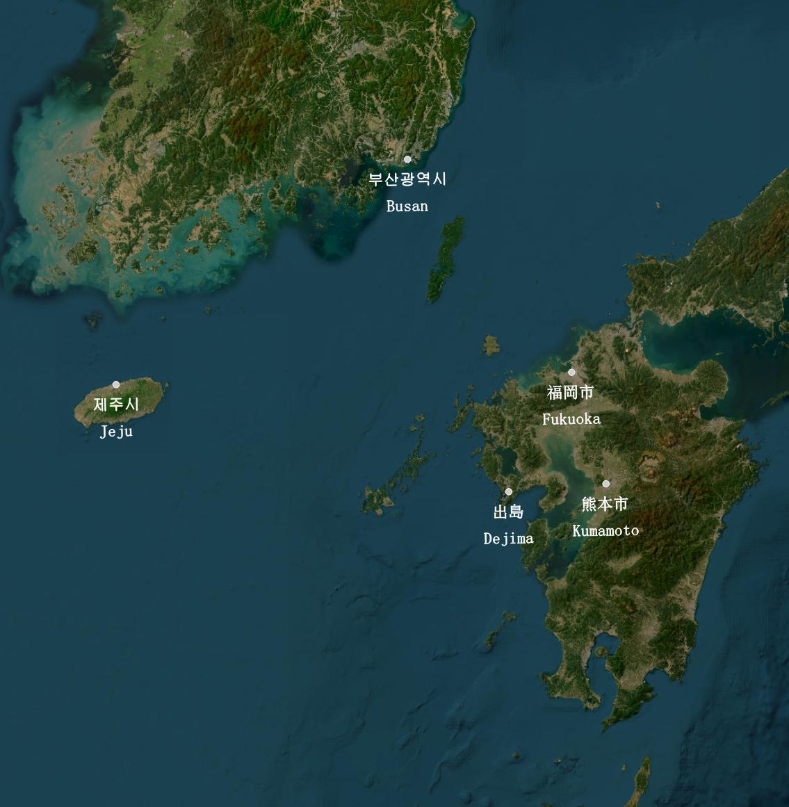
出島 (Hiragana: でじま Romaji: De-ji-ma) = Dejima Island is an artificial island built by Edo Government in 1636 to promote Western trade exclusively under the isolation policy.Dejima is located on the western edge of Kyuushuu.
Dejima is considered the precursor to the modern-day SEZ (Special Economic Zone).
Kanji 出 means "Go Out," and Kanji 島 means "Island." Therefore, 出島 translates into "Gateway Island," literally.
Further study:
Japan Ministry of Education (文部科学省). 学習指導要領 生きる力. 2017.
Republic of Korea Ministry of Education (대한민국 교육부).
People's Republic of China Ministry of Education (中华人民共和国教育部). Tōngyòng Guīfàn Hànzì Biǎo (通用规范汉字表). 2013.
U.S. Department of Education (アメリカ合衆国教育省).
Post my Q and A